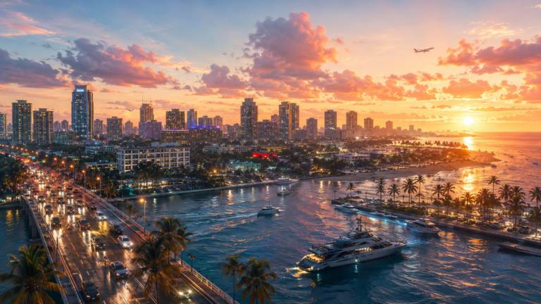
GTA 6 Leonida Map Revealed: All 5 Counties and Why Key Lento Is Stealing the Show
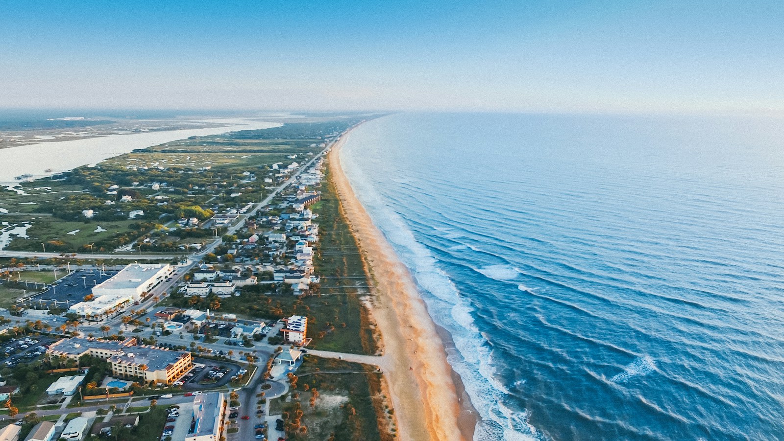
Rockstar has finally put the whole of Leonida on one sheet. On launch day, the official GTA 6 Leonida map went up as a free download next to the cover art poster. Within hours the image was everywhere on X, with players zooming in, sharing crops and arguing over which island they would visit first. Most of the noise is about one place on the poster: a long, thin island called Key Lento.
If you only want the file, our guide to the free printable GTA 6 map and the $0.99 poster shows how to get it. This article covers something else: what the map actually shows. Below we go through the five counties one by one, explain why Key Lento caught everyone’s attention, and point out the details that matter once you are in the game.
The official GTA 6 map at a glance
- State: Leonida, Rockstar’s version of Florida
- Counties: five, named Vice-Dale, Leonard, Kelly, Mariana and Lummox
- Main city: Vice City, on the southeast coast in Vice-Dale County
- Standout spot: Key Lento, in the island chain of Mariana County
- Style: an illustrated travel poster, not a screenshot of the in-game map
- Released: November 19, 2026, the day Grand Theft Auto VI came out
The map is drawn like an old souvenir poster from a Florida gift shop, not like a satellite photo. Distances and building sizes are stylised, so do not try to measure the map with a ruler. What it does show reliably is how the regions sit next to each other and what each part of the state is known for.
Why Key Lento is the island everyone is talking about
On a poster packed with neon and skyscrapers, the most shared crop shows a quiet strip of land in the south. Key Lento is a narrow island in the chain that trails off the bottom of Leonida. It is clearly based on Key Largo, the first and largest island of the real Florida Keys.
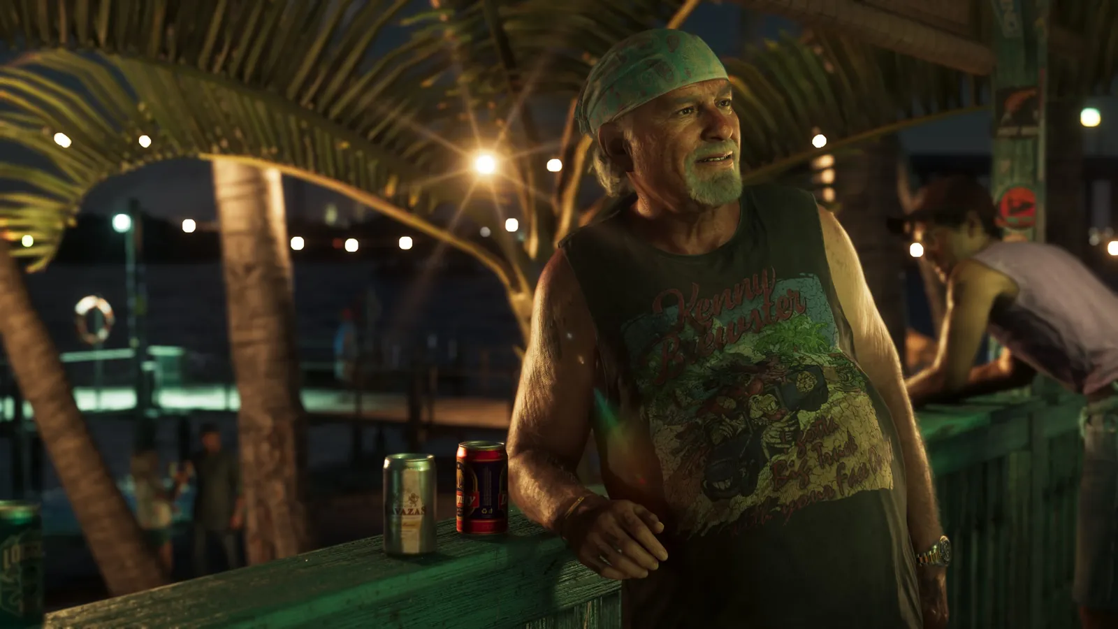
Players have dug into the names around it on the map. They include Gambit Bay, Shoeless Keys, Corsair Key and Peregrine Bay, with the Leonida Straits beyond. With pirate and gambling words in its place names, the area looks built for boat chases, smuggling runs and late nights at waterfront bars. That fits the trailers, which kept returning to motels, marinas and characters like Brian Heder, the Keys smuggler.
Key Lento also looks big. Many fans expected the Keys to be a row of tiny rocks you drive past on a bridge. The poster shows enough room for a real town, hidden coves and back roads. Several players on X say they spent hours on this one area before even starting a mission, mostly by boat.
A county-by-county tour of Leonida
The five counties give the state a clear shape: a big city in the southeast, swamps and islands in the south, a working coastline in the west and wild country in the north. Here is what each one holds.
Vice-Dale County: Vice City and its beaches
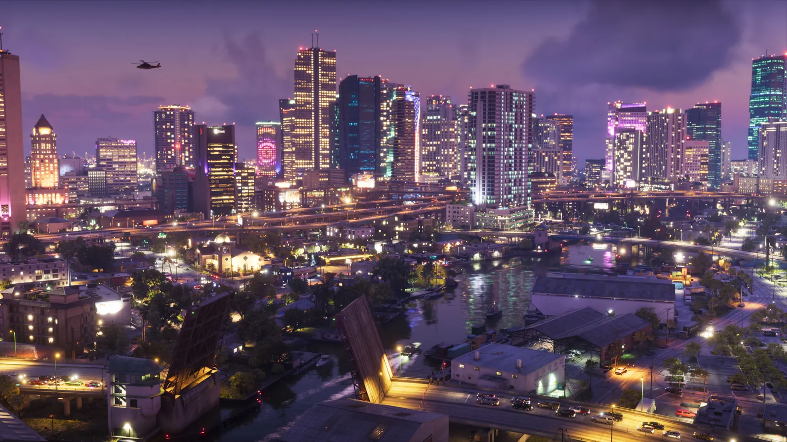
Vice-Dale is Rockstar’s take on Miami-Dade, and it is where most of the story happens. It holds Vice City itself, from Downtown and Little Cuba to the art district of Stockyard, plus Vice Beach with Ocean Beach and Washington Beach on the Atlantic side. The Vice City International Airport and Port Vice City sit here too, along with a cluster of islands, including Starfish Island, a name long-time fans will remember from the 2002 game.
Mariana County: the Keys, the swamps and the Gulf
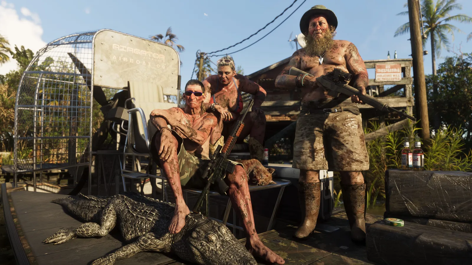
Mariana covers the south of the state, which makes it the most varied county on the poster. It includes Key Lento, the Southwind island chain, the Grassrivers wetlands (Rockstar’s Everglades), the bayous of Pelican Valley, the fishing village feel of Watson Bay and the lakeside town of Capri. If you want alligators, airboats and wildlife, this is the county to head for.
Kelly County: Port Gellhorn and the west coast
Kelly County fills the western side of Leonida along the Gulf. Its best-known town is Port Gellhorn, the faded coastal town first seen in leaks and trailers, with Draper Island offshore and inland spots like Manifest Canyon. Expect a rougher, more run-down Florida than the one in Vice City: motels, piers and empty strip malls.
Leonard County: the quiet northeast
Leonard County, inspired by the area north of Miami, is the least explained part of the poster for now. It holds the beach town of Waning Sands and stretches north toward Lake Leonida, Rockstar’s version of Lake Okeechobee, with a state park on the way. Expect lots of community guides about this county in the coming weeks as players map out what is there.
Lummox County: Mount Kalaga and the wild north
Lummox is the big surprise for anyone who thinks of Florida as flat. The northern county holds Mount Kalaga National Park, with forests, rivers and canyon country closer to Georgia than Miami. The map also names small towns and landmarks such as Grayson, Millport, Moreau and an old gold mine. It is the place for hunting, hiking, dirt bikes and long drives away from the police.
What the map tells us about how GTA 6 plays
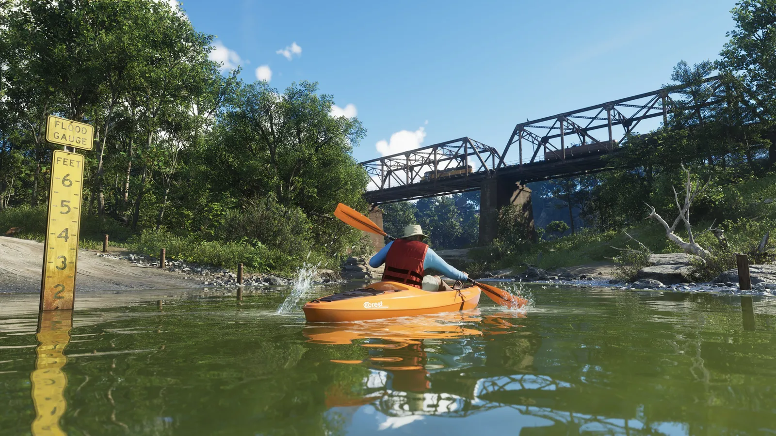
Water matters. A large share of the poster is sea, bays, lakes and rivers. Boats look less like a side option and more like a main way to travel, especially in Mariana County.
Each county has its own mood. The city, the Keys, the swamps, the Gulf towns and the northern forests all look different on the poster. That variety is why many players already call Leonida Rockstar’s most ambitious open world. Our GTA 6 wiki puts all the key facts in one place.
Real Florida is everywhere. Key Largo, the Everglades, Lake Okeechobee and Miami Beach all have clear stand-ins. Our guide to the real-life places behind GTA 6 matches them one by one.
How to get the most out of the poster
- Print it big. The printable file is made for large paper, and the small place names only become readable at poster size.
- Use it as a checklist. Mark each named key, bay and town as you visit it. It is an easy way to track your exploration without spoilers.
- Plan by county. New players can follow our beginner tips in Vice-Dale first, then head to Mariana for boats, and save Lummox for when you own a fast off-road vehicle.
- Check the weather. Storms change how the coast and the Keys feel. See how Leonida’s weather system works before a long boat trip.
Quick answers
How many counties are on the GTA 6 map?
Five: Vice-Dale, Leonard, Kelly, Mariana and Lummox.
Where is Vice City on the map?
On the southeast coast of Leonida, in Vice-Dale County.
What is Key Lento?
An island in the Keys of Mariana County, based on Key Largo. Its bays and smaller keys make it one of the most talked-about areas on the poster.
Is the poster the same as the in-game map?
No. The poster is an illustrated, stylised version, so sizes and distances are not to scale. Your in-game map is the precise one.
For the full list of regions, landmarks and story locations, keep our GTA 6 locations guide open while you play.
Still need the game? Grand Theft Auto VI is out now on PlayStation 5.